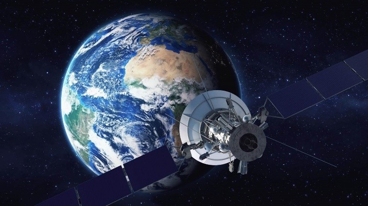
GPSSENSOR feature included in The Foundation Pack allows to simulate a GPS sensor: the position of a vehicle equipped with this sensor is converted into wgs84 (World Geodetic System 1984) coordinates (latitude/longitude/altitude) using RoadXML© projected information. This module can also be used to send the GPS position to Nokia/Navteq ADAS-RP software in order to access to Electronic Horizon (not provided by SCANeR).

| Key features | |
| Main features |
|
| Token Management |
|
