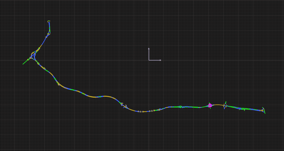
The N104 road network is a virtual test track based on a real environment, the “N104 highway” which is one of the sections of the Francilienne, a succession of highways bypassing Paris at a distance of 30 kilometers.
With the N104 road network, the user can benefit from a wide range of experiments (development of ADAS, research by event management, human factors, headlights, autonomous driving) for fast and long driving, with more or less moving vehicles on the highway.
It is used by our customers to simulate day and night driving simulation of various kinds:
- AD/ADAS simulation
- Powertrain simulation
- Vehicle dynamics simulation
- Vehicle front headlamp simulation (lighting)
OVERVIEW
|
|
| Highway entrance from East to West | 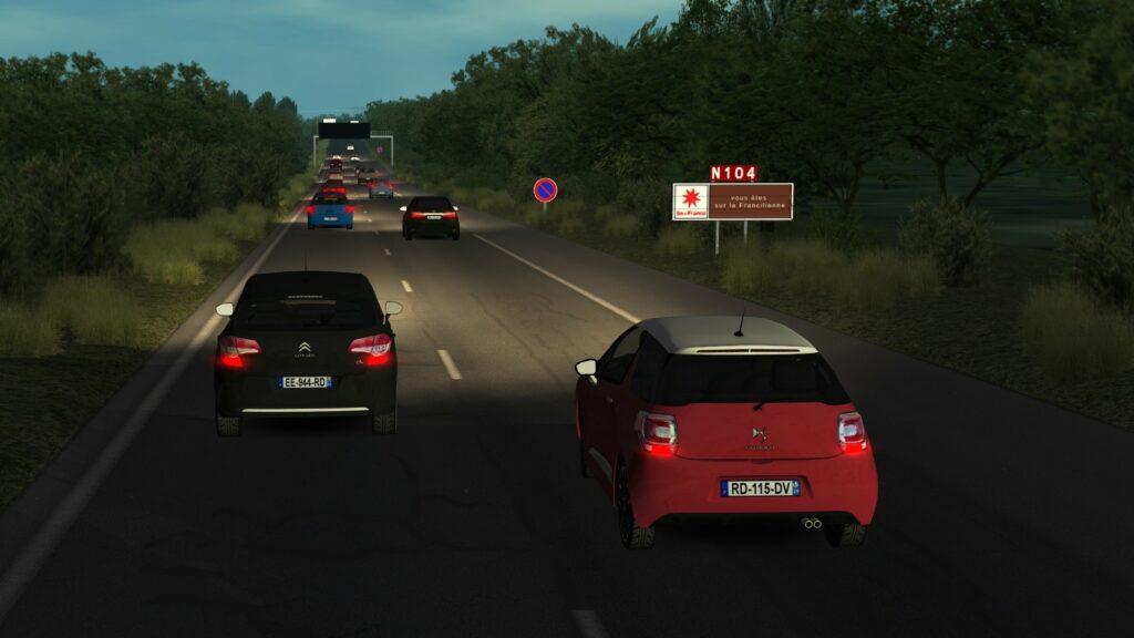
|
|
Highway bridge from East to West |
|
| Highway exit from East to West | 
|
| Highway gas station | 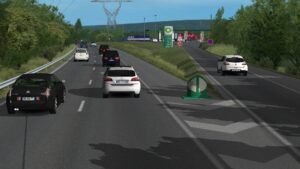
|
| Highway shops from West to East | 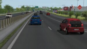
|
| Highway interchange from East to West | 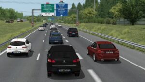
|

